Transportation Information Mapping System (TIMS) / Ohio DOT
Ohio DOT (ODOT) has focused on data and information management improvements as a foundational element of their asset management program. As part of this they have strengthened their geographic information system (GIS) and linked it to over 80 data sets. The agency’s TIMS allows users to make collaborative decisions based on shared access to the same data sets.
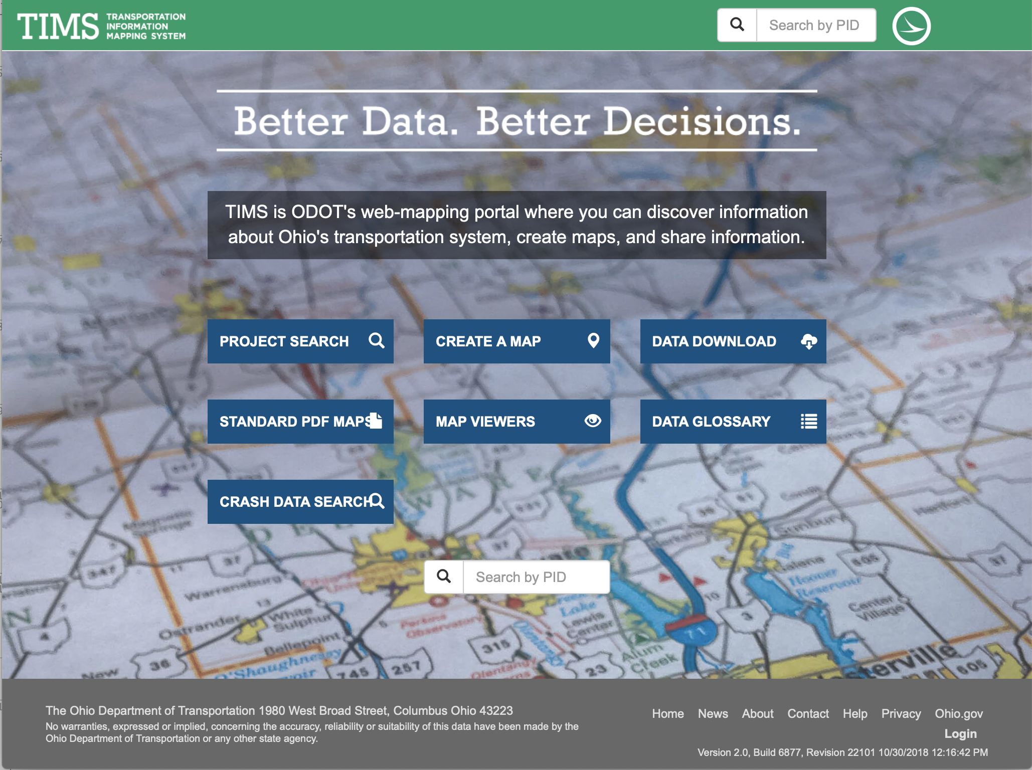
Source: Ohio DOT. TIMS.https://gis.dot.state.oh.us/tims/
Read more in the chapter: 2.2.4 Information Management